Daily Rainfall Update
The rainfall data below provide a summary of daily and month-to-date rainfall totals at 125 locations in the District. The Rainfall Data Collection Sites map shows the locations of the measurement stations and the Daily Rainfall Data chart shows rainfall accumulations in inches. (Click any image to view full size.) Download printable version »
Rainfall Data Collection Sites

Daily Rainfall Data

View Complete Rainfall Data »
Daily River Flow Update
Please visit the United States Geological Survey National Water Dashboard to acquire river flow information and data.
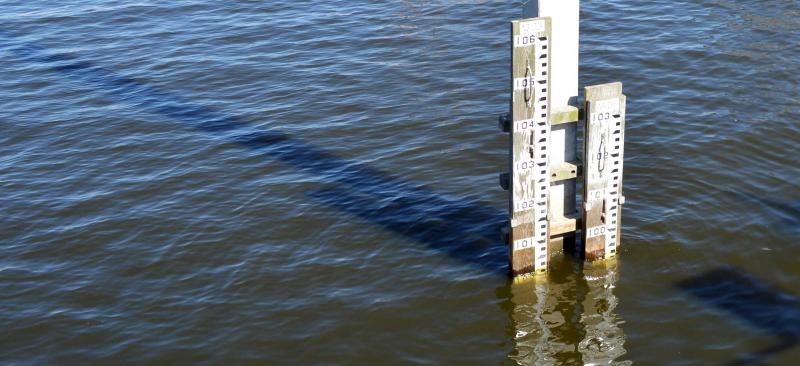
Daily Report of Surface Water Elevations
The District manages flow and storage in numerous lakes and canals using various water control structures. The water levels in these water bodies are monitored in realtime to provide water managers with the information they need to control levels and to maintain flow. The table below reports the most recent levels available, and compares them with levels from the previous day.